
Severe Weather to Affect Area Tuesday and Wednesday
The National Weather Service has warned that a significant sever weather event is expected to impact Central Alabama from Christmas day through early Wednesday morning. The NWS says that individuals across the area should be prepared for severe weather, as Christmas day plans will be impacted.
The counties to be effected include:Marion, Lamar, Fayette, Winston,Walker, Blount, Etowah, Calhoun, Cherokee,Cleburne, Pickens,Tuscaloosa, Jefferson,Shelby, St. Clair, Talladega, Clay, Randolph, Sumter, Greene, Hale, Perry, Bibb, Chilton, Coosa, Tallapoosa, Chambers, Marengo, Dallas, Autauga, Lowndes, Elmore, Montgomery, Macon, Bullock, Lee, Russell, Pike and Barbou.
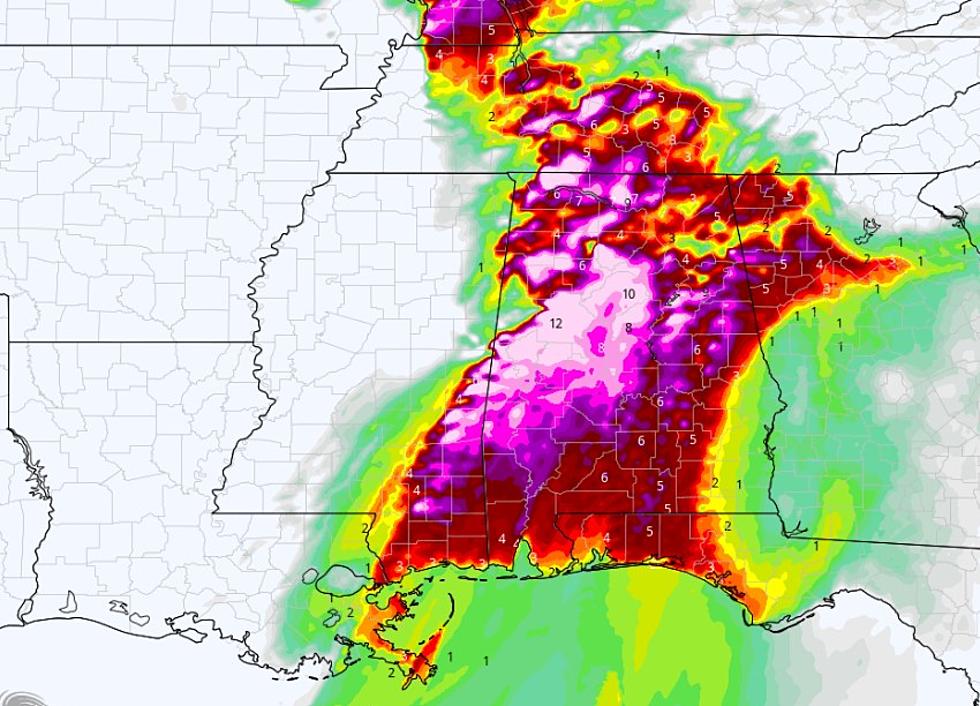
From Christmas day through early Wednesday morning the region could see severe weather such as tornadoes, damaging straight line winds and large hail are all possible. Severe thunderstorms could begin as early as 2pm on Christmas afternoon in the west with the threat spreading quickly eastward through the evening. The threat could last through 3 AM Wednesday morning in the east, while severe thunderstorms and tornadoes are possible area wide. The greatest threat area will be along and southwest of a line from Reform to Tuscaloosa, to Clanton to Montgomery
Stay tuned to 92.9 FM, 95.3 FM, 99.1 FM, 101.7 FM and 790 AM for the latest on area weather updates.
More From Tide 100.9