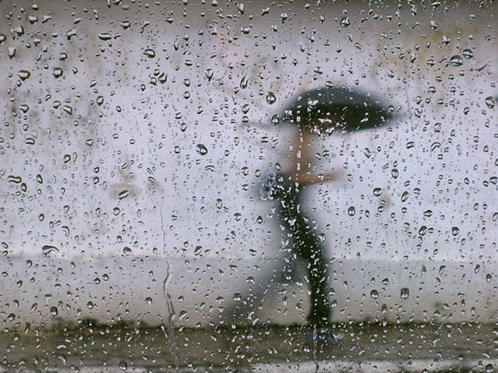
We're in for a wet forecast across Tuscaloosa and West Alabama tonight through Thursday morning, and turning cooler after that. What about the risk for severe weather?
A heads up, the National Weather Service office in Birmingham has issued a Severe Thunderstorm Watch until 10pm Tuesday (3/31). The watch area includes most of West Alabama.
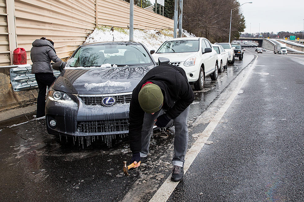
Tomorrow will be a much different day than today, as it will be sharply colder. Rain is pushing through the area and the temps will be falling down to freezing, setting up the threat for icy travels on Thursday.
Across the area today there was significant difference in the amount of snow received, if any in some spots. It's not surprising to see the schools in the areas hit the hardest deciding to keep the doors closed on Thursday.
Schools in the area have decided to not take any chances and call off classes due to the threat for significant snow and travel hazards. Here's the list of schools closed on Wednesday.