
Severe Thunderstorms and Winter Weather to Impact West Alabama [VIDEO]
Talk about a crazy forecast--the next 48 hours could bring damaging winds, hail, isolated tornadoes, freezing rain--and snow!

Storms are likely tonight. There is a limited threat of damaging winds, dime-to-quarter size hail, and isolated tornadoes. The limited risk area is generally along and south of a line from extreme southern Pickens County across northern Greene, Hale, Perry, and Dallas Counties. The greatest risk of severe storms will come after 9 p.m. tonight and should end by 7 a.m. Friday.
After storms, we could see snow! The image below from the National Weather Service shows Tuscaloosa and West Alabama could be impacted by snowfall Friday night into Saturday morning.
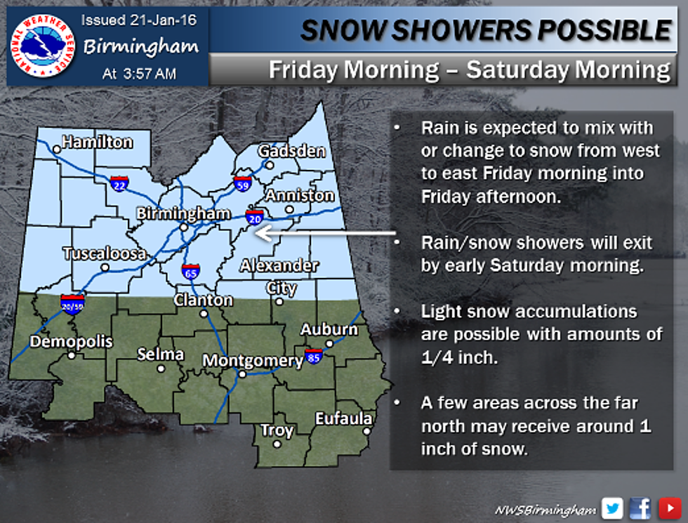
Friday will be a rainy day, and as temperatures fall, precipitation could transition to freezing rain and/or snow. Rain is likely before noon; a rain/snow mix is likely from noon until 3 p.m., and snow showers are expected after 3 p.m. Accumulation of up to 1/2 an inch is possible, and some areas north of Tuscaloosa could see over an inch of snow.
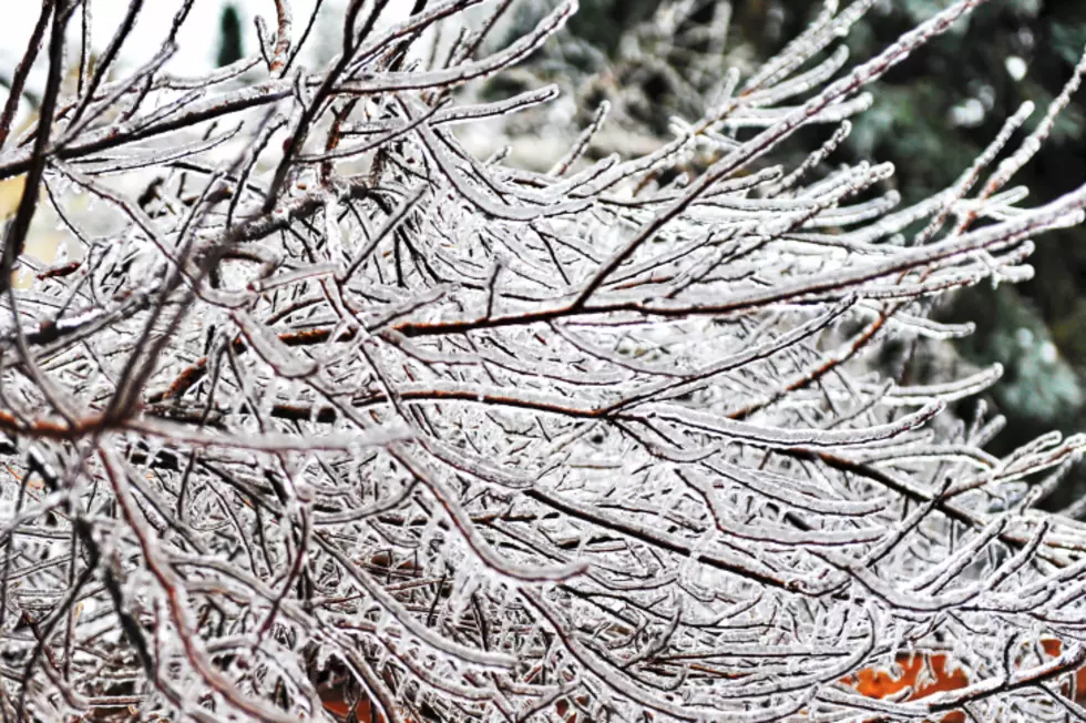
Snow and ice will make travel dangerous, and icy roadways could become an issue after sunset on Friday.
The National Weather Service in Birmingham posted the video above this morning; you can watch the weather briefing for an in-depth look at the latest forecast.
We'll keep you updated with the latest forecasts and, if necessary, school and business closings. If we do see snowfall, you can help us keep our neighbors safe on the roadways by reporting dangerous conditions or accidents to us by calling the studio at (205) 345-1017, our main office at (205) 345-7200 or on Twitter via @bamatraffic.
More From Tide 100.9


![Snow Showers Possible in Alabama Tonight [VIDEO]](http://townsquare.media/site/530/files/2016/02/image1.png?w=980&q=75)

![Winter Weather Expected in Tuscaloosa on Friday [VIDEO]](http://townsquare.media/site/532/files/2016/01/Capture2.jpg?w=980&q=75)


